
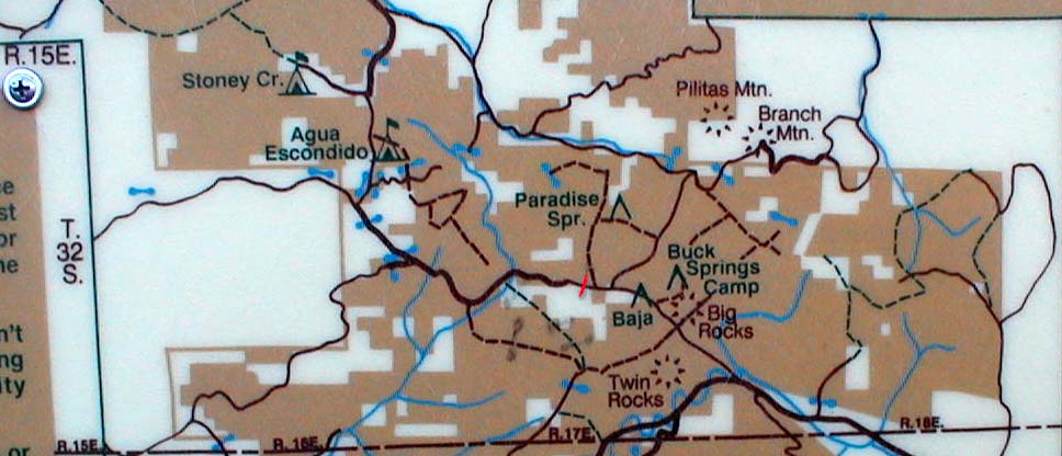
There are two main directions you can take from this location: The Brown Canyon Road to the North, and Sierra Madre Road to the South. Forest Service signs along Highway 166 will indicte whether the area is open for use. During the rainy months, the roads may be closed.
This is the entrance to the Brown Canyon area. You can go at least 8 miles in staying on main roads that vary from beginner to intermediate conditions.
There is no outlet anymore from this route. In days past, one could travel all the way over to Huasna, or pick up the Avenales Ranch Road and go clear to Pozo. However, thanks mostly to misuse, a these great routes are no longer available. We're stuck with an "in and out" ride here these days, but there are 20 or so miles of roads of varying condition to explore. There are no toilets of any kind, and no trash receptacles anywhere in this area.
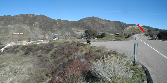
The entrance to the OHV area is to the left here. Just up the road, about where you can see the most distant car on Hwy 166 is the junction with Sierra Madre Road, which goes up the mountains to the South
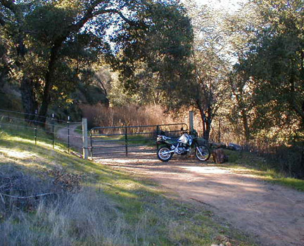
The red arrow marks the entrance to the Sierra Madre road. To enter the Brown Canyon area, pass through the Ranch's gateway (left where the KLR 650 is)bear to the left and cross the creek ford. This is a concrete ford, and nearly always has some water crossing it. At the time this photo was taken there was approximately 3 inches of water over the roadway so it was easy to cross (Jan. 11, 2001)
Move on up the road about 1/4 mile to the Forest Service sign seen below.
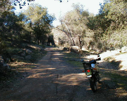
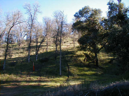
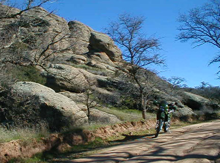
From here, drive on up the road to the North. This road seems well traveled still, and there some paved sections at steeper points. Most of the road conditions are beginner to intermediate along this section. There are some steeper areas, but nothing you could call 'hairy'. Most of the road takes you through rolling hills woodland and canyons. You'll pass through the "big rocks" area which is really interesting.
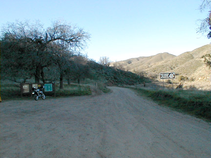
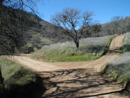
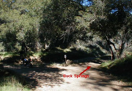
At about 1.5 miles in, you'll come to this Y. Take the left fork. At 1.1 miles beyond this you come to the Buck Springs fork. You can drive up this road and I THINK it makes a loop back down to the 35 Canyon Road. I haven't been up this way since all the gates got locked, but will try it sometime soon and see where it goes.